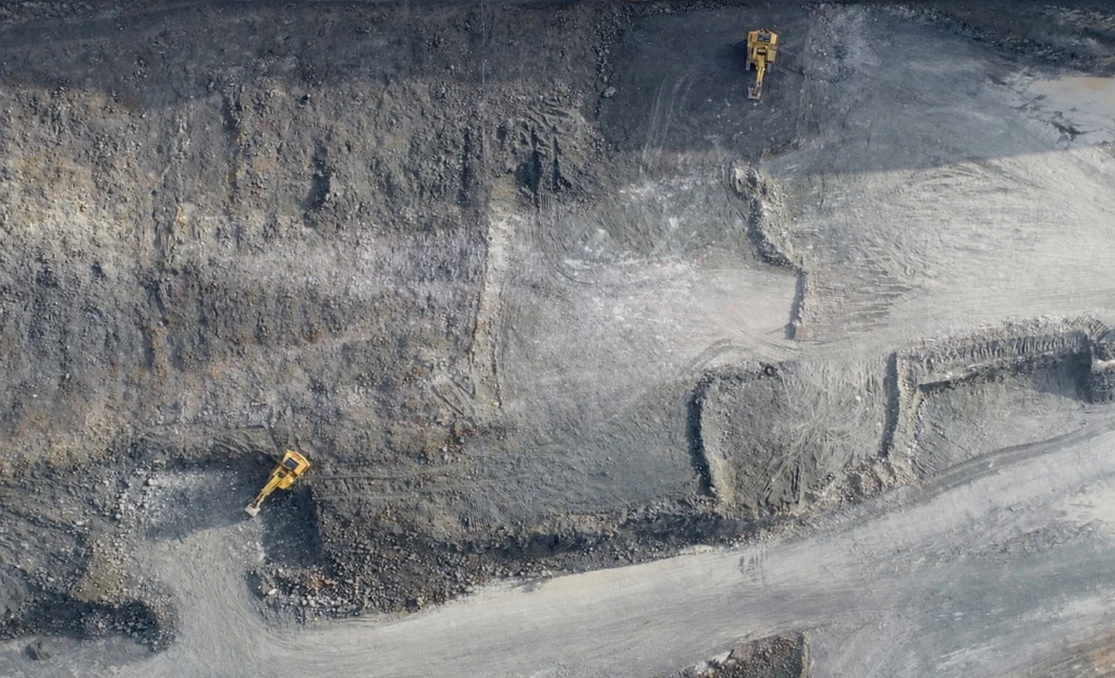
Mine workings
Open pits and cuttings
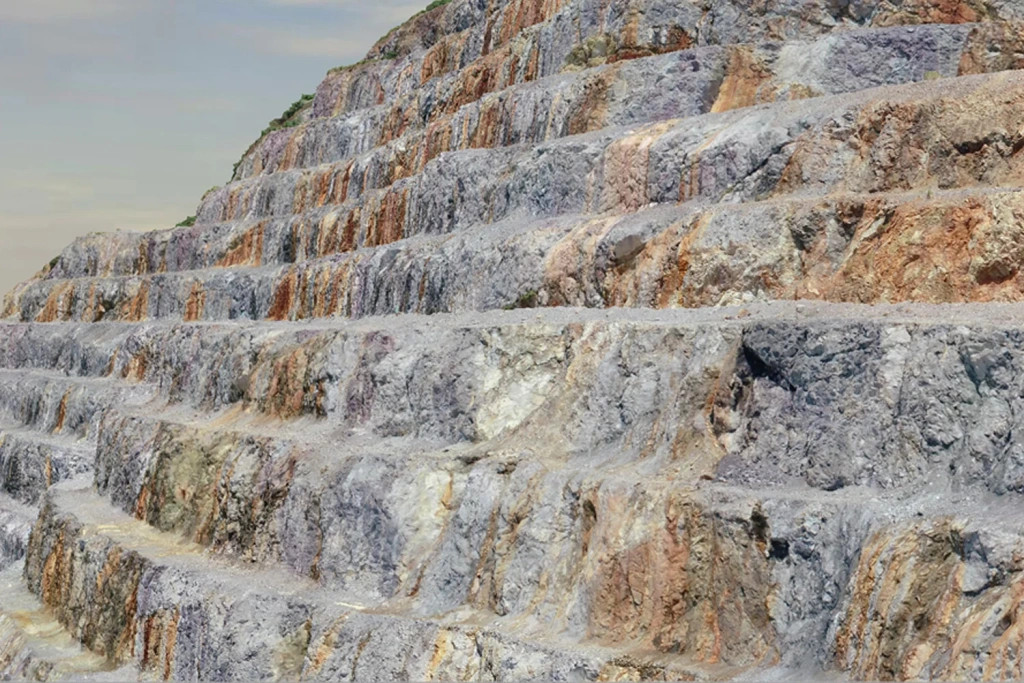
Benches, highwalls, berms, slopes, working levels, deformation zones and potentially hazardous areas.

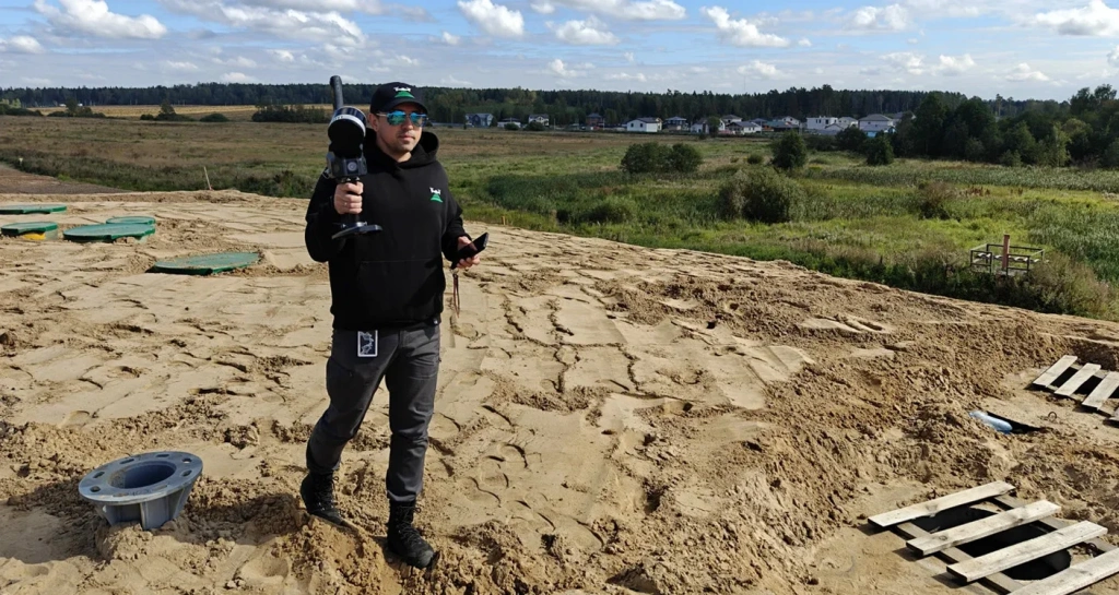
We deliver mine surveying services using UAV photogrammetry and laser scanning for mining and construction sites: volume and geometry control, as-built surveys, plan updates and operational support.
We also work in environments with limited or no GNSS availability, using UAVs, mobile laser scanning, SLAM and high-accuracy photogrammetry. Deliverables include measurable 3D models and reports in the formats you need.
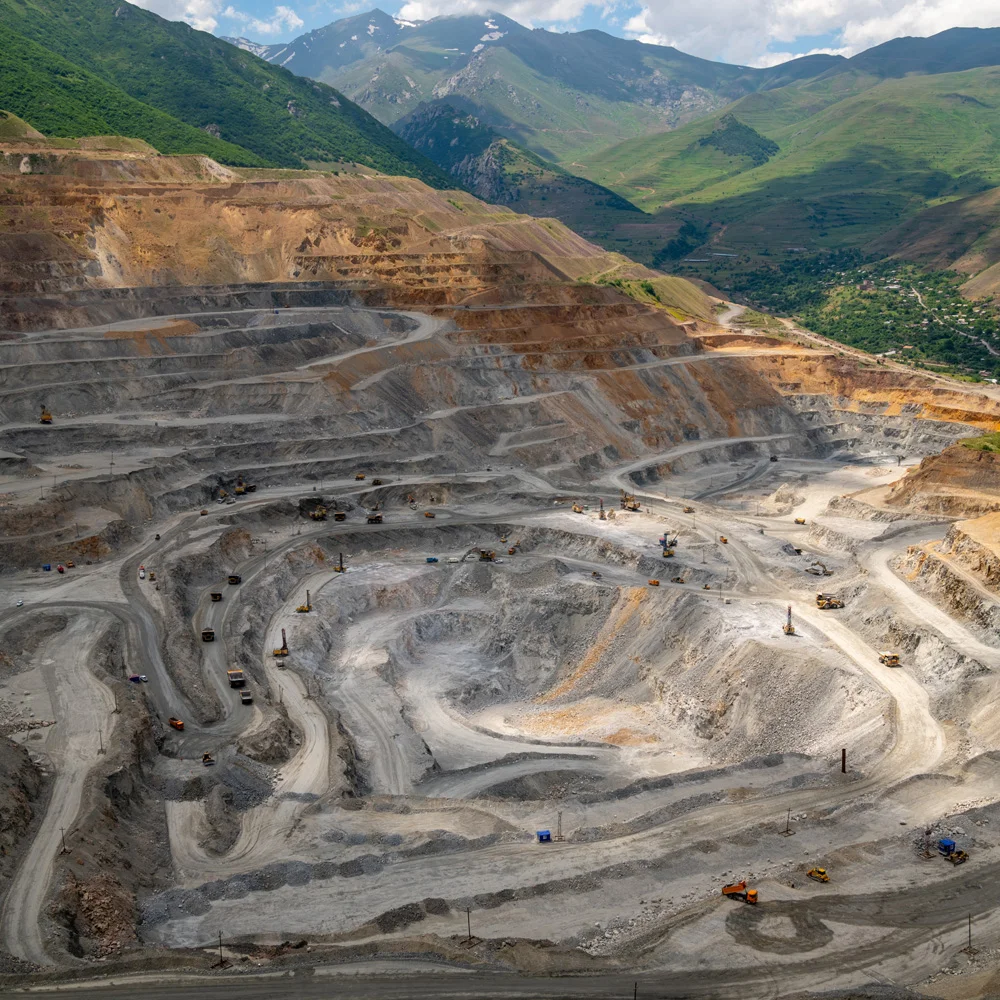
Open pits, facilities and supporting infrastructure—for mine surveying, reconciliation and operational control.
Mine workings
Benches, highwalls, berms, slopes, working levels, deformation zones and potentially hazardous areas.
Stock management
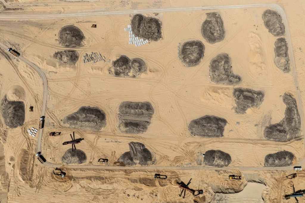
Dump stacks, stockpile pads and transfer areas—for reconciliation and volume calculations.
Tailings facilities

Embankments and slopes—geometry control and condition capture as of the survey date.
Infrastructure
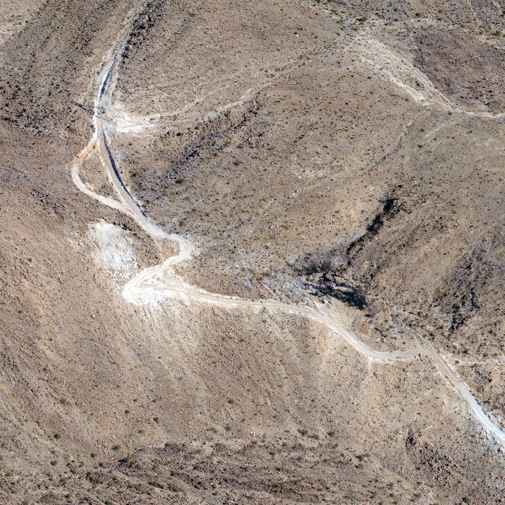
Haul roads, access routes and working areas—condition analysis and operational planning support.
Underground
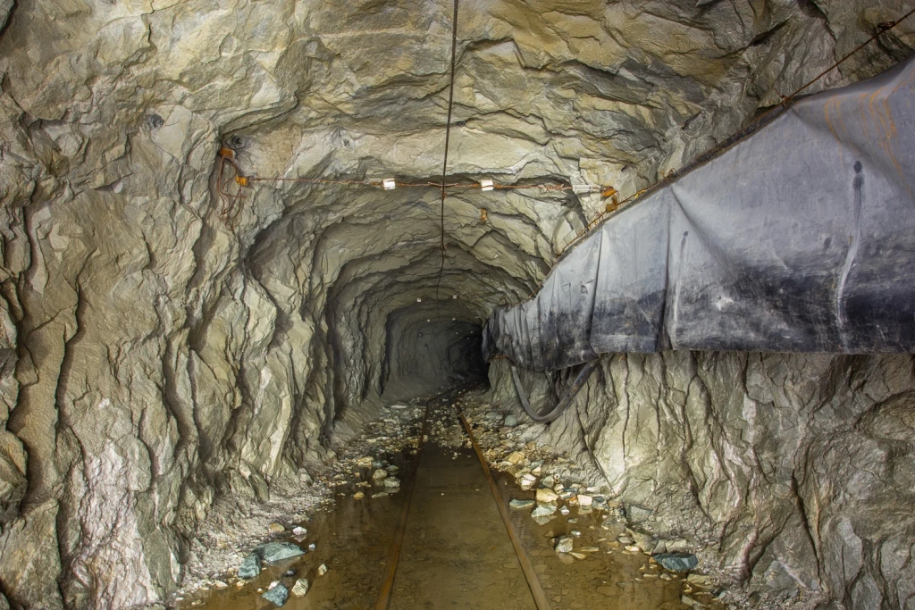
Surveying and scanning underground workings where GNSS is unavailable or restricted.
Projects
As-built surveys and progress control across construction and operational phases.
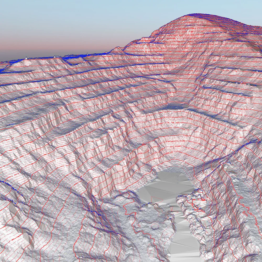
Surveying and processing for mine surveying use: volumes, geometry, change over time and safe monitoring.
Reconciliation
Geometry
Underground

Topographic plans

Infrastructure

Monitoring
We choose the method based on your objectives, accuracy requirements and site conditions.
UAV surveys
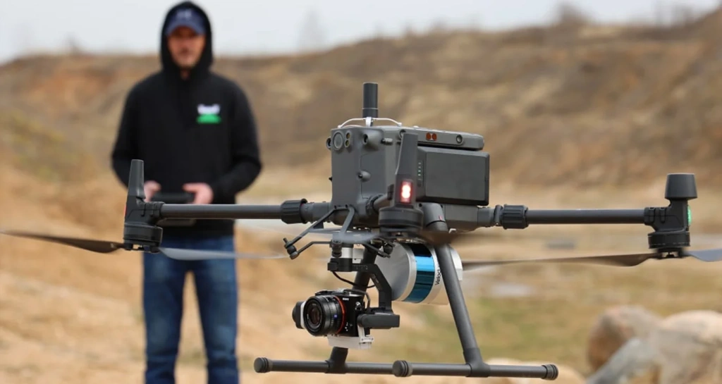
We use survey-grade industrial UAV platforms with TOPODRONE PPK modules, and can also work with RTK on compact platforms (for example, DJI Mavic 3 Enterprise) where appropriate.
When GNSS is unavailable
SLAM-based mobile laser scanning for pits and complex terrain. Works in unstable or GNSS-denied environments: jamming, limited sky visibility and sharp elevation changes.
We select the approach to match your objective: “volume calculations”, “highwall geometry control”, “before/after monitoring” or “as-built surveys”. The deliverables set and formats are agreed in the scope of work.
Quality assurance
All data capture is delivered with multi-stage QA: visual checks, coverage verification and cross-checks against control points where applicable.
A turnkey service: from scoping through calculations to delivery in the required formats.
Scope
Outputs suitable for calculations, design inputs and internal reporting.
Mapping

Orthomosaic and a captured snapshot of the site condition as of the survey date.
3D models
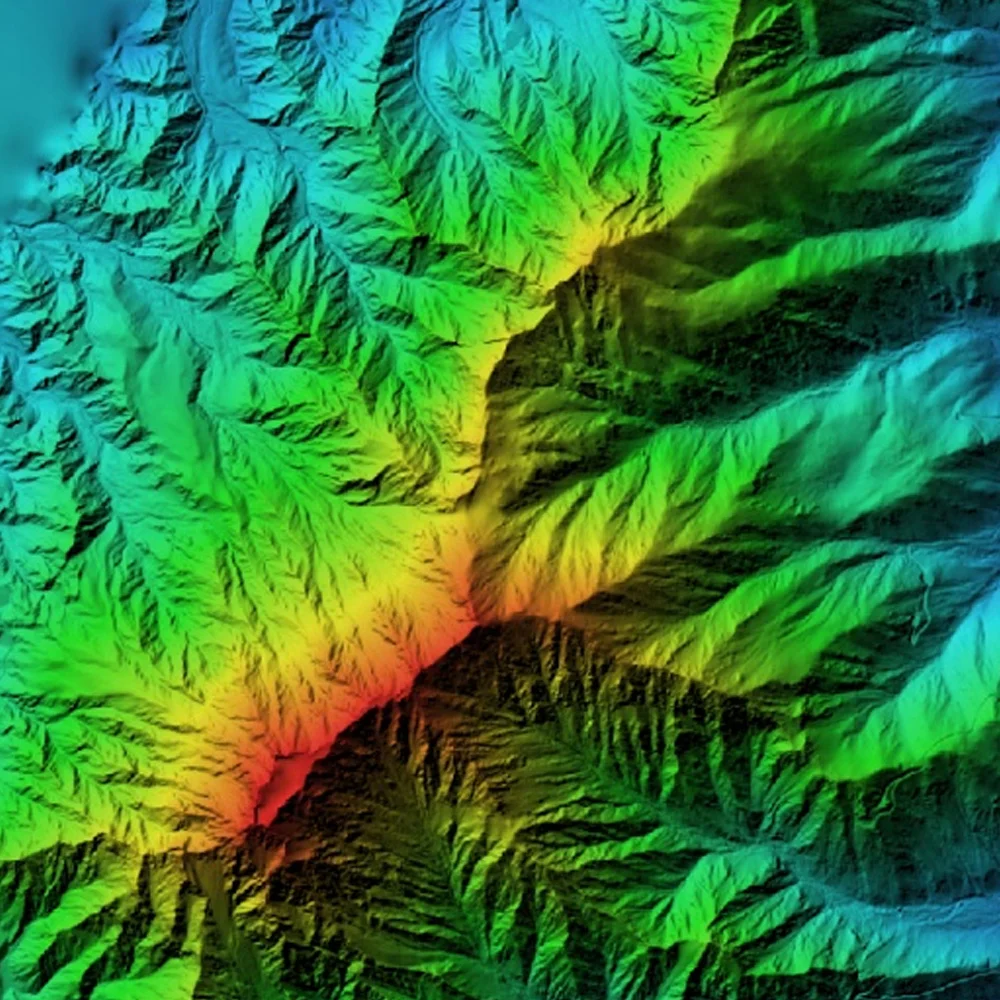
Digital terrain/surface models and measurable 3D outputs for analysis and reporting.
Calculations
Volumes within defined boundaries, schedules and reporting to the scope of work, plus “before/after” comparisons where required.
Export formats
We agree export formats for your toolchain (CAD/GIS/specialist software) in advance and confirm the deliverables list in the scope of work before mobilisation.
Programme: from a few days to a few weeks. Cost: quoted on request after a short brief.
Programme
Depends on area, terrain complexity, selected method and the amount of office processing required.
Cost
Price depends on the objective, method (imagery/LiDAR/SLAM), accuracy requirements and delivery formats. Payment is made upon completion of the works.
For a quote, we usually need: site location, approximate area/boundaries, objective, frequency (if monitoring), required formats and target dates.
Open pit
GNSS-denied survey
Not sure about something?
If you have any questions and would like a consultation, email us at info@topodrone.com — we’ll walk you through the brief, deliverable formats and timeframes.