

TOPODRONE carried out aerial documentation of the Chronicles of Georgia memorial in Tbilisi (architect: Zurab Tsereteli, 1985). The monument consists of sixteen bronze-clad columns, each 30–35 metres tall, decorated with sculptural figures of Georgian kings, queens, and Christian saints. Despite its scale and prominence on the general plan of the Tbilisi Sea area, the site remains technically unfinished. Nevertheless, it is one of the largest contemporary monuments in Georgia
The Role of 3D Models in Architecture
Surveying complex sculptural and architectural objects involves detailed capture not only of structural elements but also of facades. 3D photogrammetry enables the creation of highly detailed digital twins of buildings and monuments for subsequent restoration and conservation tasks.
Digital models support precise planning of restoration works, assessment of structural loads, and analysis of changes in the technical condition of a structure over time. By updating such models annually and comparing scan data in specialised software, engineers can track the development of deformations — even in hard-to-reach areas. This is especially relevant for large-scale monuments.
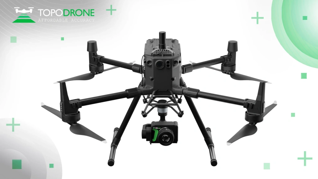
Figure 1. Photogrammetry UAV system based on DJI Matrice 350 + TOPODRONE P24 camera + TOPODRONE PPK upgrade
Project Overview
The survey was conducted using a DJI Matrice 350 drone equipped with a TOPODRONE P24 camera and a TOPODRONE geodetic PPK module (L1/L2 GNSS). Satellite data was logged onboard, allowing for precise georeferencing of image centres without relying on internet coverage in the field. Thanks to the availability of CORS (Continuously Operating Reference Stations), fieldwork was completed without setting up a dedicated base station. This approach simplifies pre-flight preparation and ensures high-accuracy georeferencing (approximately 3–5 cm) without the need for manually placed ground control points.
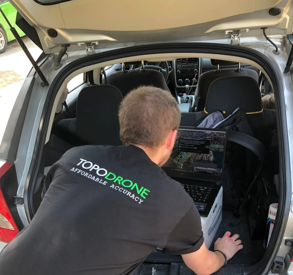
Figure 2. Preparing a flight mission in UgCS Pro
Technical Features of the Mission
- PPK mode without a local base station: The DJI M350 + TOPODRONE P24 + PPK system logged GNSS data independently, eliminating the need to connect the rover to a ground base in real time./li>
- Georeferencing accuracy: Using a dual-frequency receiver and high-quality post-processing in TOPODRONE Post Processing software, spatial accuracy of 3–5 cm was achieved.
- Flight scheme: The survey was conducted using a double grid flight plan with nadir (vertical) imagery and additional oblique flights with a 60° camera tilt. Oblique images were captured at two levels: a lower level (~40 m above ground) for detailing facades and sculptures, and a higher level for full site coverage. This multi-level flight approach ensures reliable data capture: nadir images provide precise planar geometry, while oblique images reduce shadow zones and fill gaps on vertical surfaces.
- Software used: GNSS logs and image metadata were processed in TOPODRONE Post Processing. The photogrammetric reconstruction was completed in 3DSurvey, which generates detailed, realistic 3D models suitable for engineering analysis.
##G329## Figure 3-8. Overview 3D Model of the «Chronicles of Georgia» Memorial by TOPODRONE
Survey Methodology
A key approach in documenting sculptural monuments is the use of multi-level flight paths. Oblique images taken at 45–60° angles allow the capture of vertical elements not visible from overhead. This is critical when modelling the Chronicles of Georgia memorial, where the sculpted figures project outward from the façade — and cannot be properly reconstructed without side-angle views. Oblique flights minimize blind spots in the model and improve the perception of depth and form.
At higher altitudes (above 40 m), a general outline of the monument is captured; at lower altitudes (~40 m), a more detailed surface mesh is generated. The three-level approach (nadir + two oblique angles) produces a dense and comprehensive 3D model, which is essential for capturing complex architectural and sculptural forms.
The resulting model is an overview-level reconstruction, intended for general documentation, archiving, and initial condition monitoring. It is not photorealistic, and the mesh is relatively coarse, but it accurately conveys the structure and geometry of the columns and sculptures. For tasks requiring greater detail (e.g. BIM reconstruction or restoration), additional close-range photogrammetry of facades can be conducted with higher image density.
Video 1. Overview 3D-model of the Chronicle of Georgia memorial
Conclusion
This aerial survey, employing a PPK workflow and multi-level flight scheme, demonstrates the effectiveness of modern geodetic drones for architectural documentation. Using the DJI M350 industrial UAV with the TOPODRONE P24 PPK photogrammetry system and professional data processing software (TOPODRONE Post Processing and 3D Survey), a high-precision base-level 3D model of the memorial complex was created.
This practice allows professionals to accelerate the creation of digital archives, support BIM solutions for infrastructure, and monitor the condition of heritage sites without the need for extensive ground-based surveys.